Astronomical results
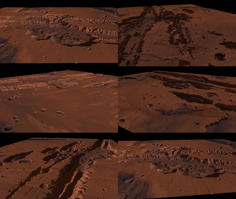
The main purpose of povray is to create 3d-objects and worlds, but in addition it wonderfully can be used to show real existing worlds. Around a sphere you can place the map of the surface of a planet, or with the help of height-maps you can show deep canyons and mountains, which can be explored out of a flight-like perspective. No animation by NASA itself, all created on the own compter.
Planets
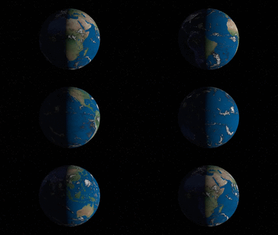
To let appear a planet right before the eyes not much more is needed than a sphere and a rectangular map of the surface of the planet. Both combined results in a three-dimensional body, which can simulate day-night cycles too. The animation on the right consists of three maps: one for the nightside with city-lights, a daytime map with oceans and landforms, and another map to show the clouds.
The pictures below shows the same region on planet mars, in the center
Vallis Marineris. On the left a topographic view to display elevation differences, on the right two views as he looks in visible light.
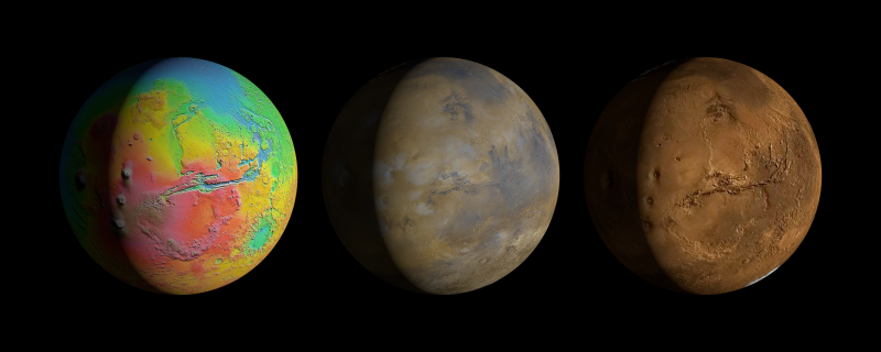
Planet Mars in different versions
Planetary flyovers
With the help of
Height-Fields its possible to greate three-dimensional views, that can look like produced from NASA and ESA. Only needed are good maps with high enough resolution, to find them is one of the hardest parts of the job.
The display of height-differences is made possible by so called Digital Elevation Model (DEM), that hast to be combined with a visual map of exact the same region. The DEM is nothing else than a gray-coded picture, where black pixel represents deep areas, white the highest and all gray-values the steps between. The animations here shows my first results, meanwhile I have found some ways to improve them.
The first one shows - again - the Vallis Marineris on Mars, the deepest canyon of our solar system, deeper than the height of Mount Everest. Also in the pictures
Hebes Chasma, the bathtub with the long hill in the middle. In the video especially flat plains are flickering, at least by half caused by disabled anti-aliasing while creating the single pictures.
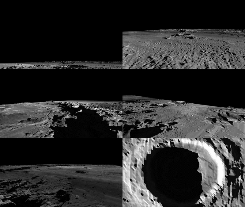
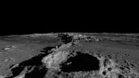
Who is able to create a fly-around, also can create a fly-through. This animations shows a flight on the moon, starting west of crater
Copernicus in directon north-east over
Eratosthenes, turns for a short moment straight to east and than back to the west, till it flies over the big but flat crater
Archimedes and others in
Mare Imbrium.
In the video its unfortunately very easy to identify the bad calibrated data. Strange from north to south occuring color gradients, where a white area lies directly beneath a light-gray one, separated by a hard border between. Also the low resolution of the DEM is visible, displayed in cornered hills that looks like asselbled by lego-bricks.
Another to mention point of critism ist the camera-movement, which is to 100% my part, I will work on it. The height-differences in both videos are displayed exaggerated - in case of the vallis maybe only slightly, at the moon at least by factor 2, so in reallity its more flat than shown here. It was one of my first tries and I didnt pay attention to it.
Starsystem in our neighborhood
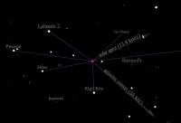
For a long time I was curious, where the stars around our solarsystem are, how it would like to be lightyears away from the Earth and the Sun and look in their direction. With povray and the before prepared
SQL-Povray-Array this was possible, as always only much to do.
Instead of palcing the stars all in the same distance onto a sphere-like canvas, I arranged them in the right distance to each other. It needed much fine-tuning and I am not totally pleased with the early result, but its accurate enough to show me how a interstellar traveler would see our stellar neighborhood. Alpha Centauri is somewhere beneath us in southern direction, Sirius more on the left and Vega about fouth the distance above us. Nice to see. Its not on the top of my priority-list, but when I have free time I will try to get better views from my virtual traveler.
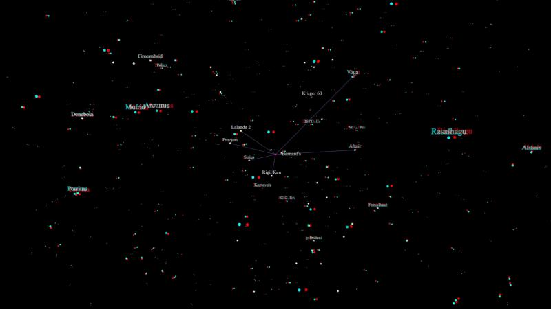
Stereo-Bild
Sources
The copyright of the presented planetary data belong to NASA, ESA and GSFC. Where I get the stars-database from I dont know anymoren, I downloaded it at least 15 years ago.
Some links:
https://visibleearth.nasa.gov/ - Some views/maps of earth
https://www.mapaplanet.org/ - NASA-Website to download maps of different planets, but not easy to handle
